The Jewel Basin is found above the eastside of Flathead Valley.
To find Jewel Basin just follow the signs from highway 83 just outside Bigfork. When you get to the Jewel Basin turnoff soon you will be on eight miles of gravel road that tends to be bumpy and narrow.
The elevation of the trailhead is 500 feet and Mt. Aeneas, just tips over 7500 feet.
The trails in the Jewel Basin are reserved for hiking only.
The hike starts from Camp Misery ranger station parking lot. Camp Misery got it's name from a local tribe that spent a terrible winter there.
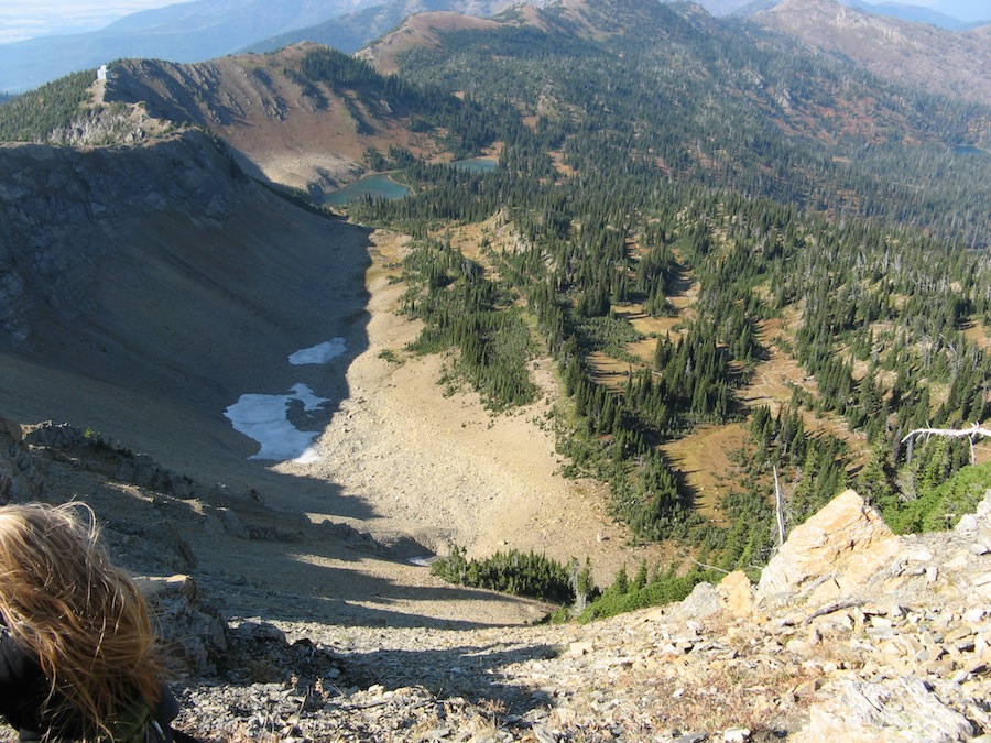
We had a great hike. We had bear spray but didn't need it. Saw mountain goats, elk and deer.
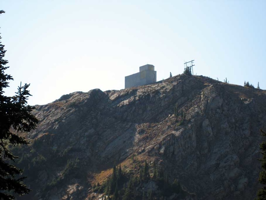
The strange building on the ridge of Mt Aeneas is a Microwave Tower.
Love seeing the mountain goats
After standing in 1919 where we stand today, the Reverend Eugene Cosgrove would give a moving sermon on “The Secret of Wilderness” at the Unitarian Church in Helena:
“Hidden away by the Gods, like a necklace of pearls, among the crags and fastness of the [Swan] Mountains, lies the Jewel Basin, the enchanted land of this our Montana. Friends, I have seen the sun set on the minarets of Spain, and make splendid the dome of St. Sophia in Constantinople. I have watched the play of color upon the desert of Egypt, with the Sphinx and pyramids. I have made a trail through the hinterland of the Canadian Rockies, to where the Aurora Borealis from the polar skies make the northern night glorious... but for kaleidoscopic lights and shadows, for octaves of tone and color, for unending variety of the moods and forms of Nature, Jewel Basin is the most charmed and charming spot in all the world.” Found
HERE
Some history how Jewel Basin became a hiking only area. Cliff Merritt helped secure Congressional Wilderness protection for many areas in Montana in 1964, including the Bob Marshall Wilderness, and helped form the Montana Wilderness Assoc. to advocate for more wilderness in Montana. Found in the Lake Shore Country Journal.
- Latitude: 48.148569
- Longitue: -113.919275